Distance: 7 miles
Time: Allow 3 hours
A moderate to difficult walk. Some road walking but several sections cross undulating farmland, with stiles. Two steep climbs up / down steps. Boots or stout shoes needed.
Refreshments: Countess Tea Rooms, Wortley; Wortley Arms; Wortley Hall bar and restaurant; Wortley farm shop.
Map: Ordnance Survey Explorer 278 Sheffield and Barnsley
Start: Cross roads at Thompson Hill / Wortley Road and Westwood Road, High Green, S35 4LE
Public Transport: For information on public transport ring the South Yorkshire Traveline on 01709 515151 or visit www.travelsouthyorkshire.com
Car Parking: There are large lay-bys on Westwood Roadbr />
Public Toilets: None on route
Refreshments: Countess Tea Rooms, Wortley; Wortley Arms; Wortley Hall bar and restaurant; Wortley farm shop.
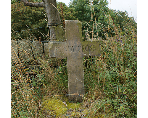
The cross commemorates Edmund Cundy, curate at Wortley from 1592 to 1629. An early milestone on the opposite side of the road marked the way on the Sheffield to Halifax / Sheffield to Manchester turnpike road.
The lodge was formerly a gatehouse for the Wharncliffe Estate. The present building is thought to date from the c16th and has mullioned windows, thick walls and ancient timber in the porch.

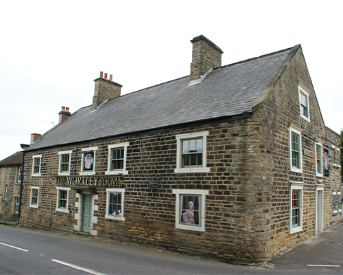
The Wortley Arms public house was once known as the Wharncliffe Arms and the present building dates from the c18th. Cattle sales were held here in the c19th.
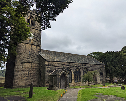
The first definite mention of the church is in 1318. It was originally a chapel of ease and part of the parish of Tankersley. The present church dates from around 1753 and was financed by Edward Wortley Montagu of Wortley Hall. There are many monuments in the church to the Wortley family (the Earls of Wharncliffe), including a vault in the choir area also dating from 1753. Several members of the Wortley family are buried in the churchyard to the rear of the church. Lady Mary Wortley Montagu first brought the idea of inoculation against smallpox cure from Turkey into England in 1719.
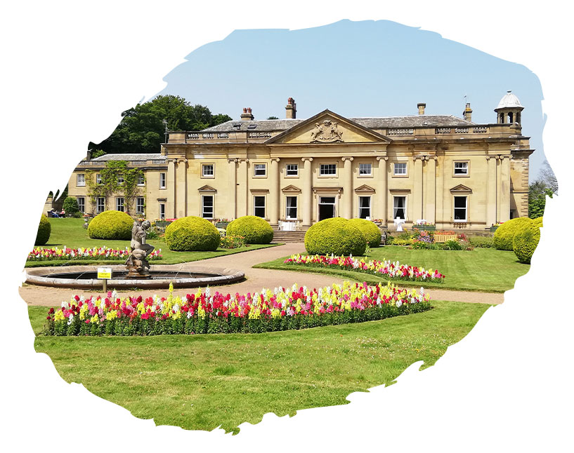
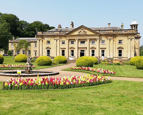
The Hall was the seat of the Earls of Wharncliffe until World War 2. The most famous resident was Sir Frances Wortley who fought on the side of the Royalists in the Civil War and was imprisoned in the Tower of London. The present hall dates from the c18th and has been associated with the Traders Union and Labour Movement as a residential centre for the past 50 years. During World War 2 US servicemen, mostly from the US Army Air Force were based at Wortley Hall. They appear to have been mostly from the Ordnance and Quartermaster units and were possibly involved in the operation of the nearby ammunition depots at Scout Dike and Grenoside.
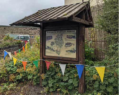
The name Wortley is Anglo-Saxon and the village is recorded in the Domesday survey of 1086 as ‘waste’. There are several interesting houses in the village. The oldest house is thought to be Tivvydale Cottage, to the north of the church, beside the footpath to Wortley station. It is said to have been the headmaster’s house when Tower House, dating from the c17th, was the school.
Wortley Park covers an area of around 200 acres and is now mostly used for agriculture and as a golf course. Originally thought to be a medieval deer park, it was landscaped around 1800 and contains early to mid c19th gardens and pleasure grounds. A walled kitchen also survives to the west of the Hall, which is currently being restored.
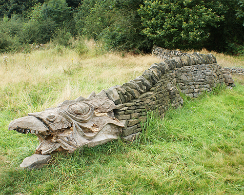
A satirical ballad, ‘A True Relation of the Dreadful Combat Between Moore of Moore Hall and the Dragon of Wantley’ was first published in 1685, telling how brave knight Moore of Moore Hall slew a dragon which had devoured everything around.
“...For houses and churches were to him geese and turkeys; He ate all, and left none behind…”
It is thought to relate to the enclosure of land by the Wortleys to create a hunting park, as happened at Wharncliffe Chase in the early c16th.

Copyright 2021 Ecclesfield Parish Council | Website by Aubern Creative