Distance: 5 miles
Time: Allow 2 hours
A circular walk of around 5 miles through fields and ancient woodlands on the edge of High Green and Grenoside. Good views towards Barnsley and beyond from Greno Knoll at the top of Greno Woods.
Map: Ordnance Survey Explorer 278 Sheffield and Barnsley
Start: Top of Springwood Lane, Potter Hill, High Green, S35 4JF
Public Transport: For information on public transport ring the South Yorkshire Traveline on 01709 515151 or visit www.travelsouthyorkshire.com
Car Parking: On road at Potter Hill. Please park sensibly.
Public Toilets: None on route
Refreshments: None on route
The hospital was opened for the care of smallpox patients in 1916 and closed in 1982. It had a reputation among local children as the ‘haunted hospital’. It is now a private house.
As its name suggest, High Green began life as a hamlet around a green and remained largely agricultural until the establishment of Thorncliffe Ironworks at the end of the c18th. It became a separate ecclesiastical district in 1872 with the building of St Saviour’s Parish Church, built in memory of Parkin Jeffcock who lost his life during a heroic rescue attempt at the Oaks Coillery disaster in Barnsley in 1866. His mother’s family came from High Green.
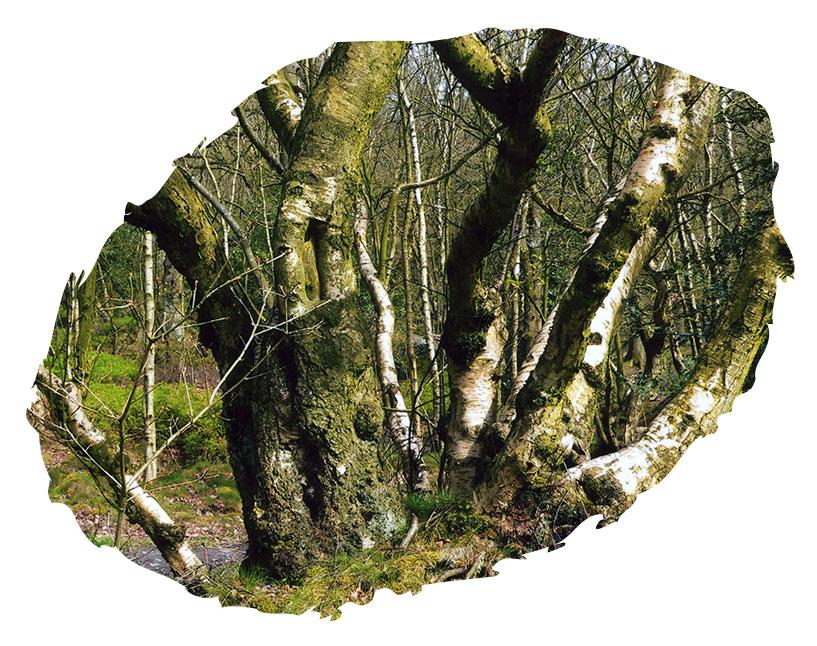
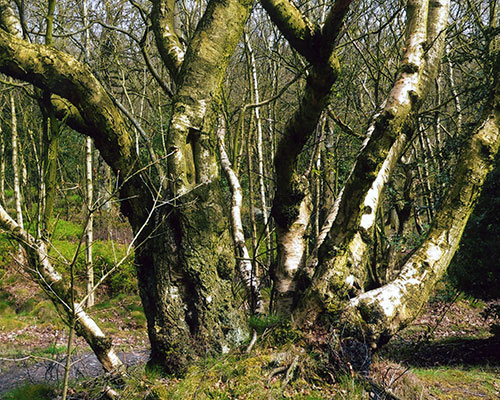
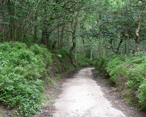
The woods are now owned by Sheffield Wildlife Trust but the woodland has been managed since at least medieval times. Timber was used for building and the underwood for making charcoal, clog soles, brushes and baskets. From 1950 the Forestry Commission managed the woods for conifer production and planted large areas of larch and Scots pine. Some remain, interspersed by sweet chestnut, beech and oak. Grenoside and District Local History group have produced two historical walks leaflets, one featuring Grenoside village and the other exploring Wheata Wood. For more information see www.grenosidelocalhistory.co.uk.
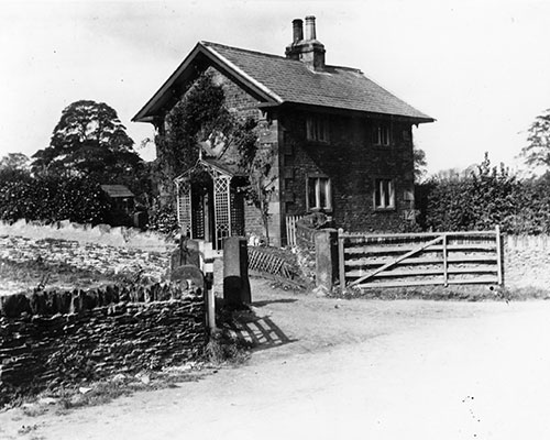
This house was probably a toll house on the Sheffield to Manchester and Huddersfield / Halifax turnpike road, built in 1777. An old milestone at Cundy Cross further along the road towards Wortley shows the number of miles from Sheffield to Manchester and Huddersfield. In the c18th this route across the top of the hills was probably more easily navigated than the lower-lying Don Valley, where the Sheffield - Manchester road runs today. Tolls for maintenance of turnpike roads were collected from travellers at a gate, or bar, across the road. In the 1830s over 1,000 turnpike trusts administered around 30,000 miles of turnpike road in England and Wales, taking tolls at almost 8,000 gates.
The name Grenoside was first recorded in the c13th as ‘Gravenhou’ from the Anglo-Saxon word ‘graefan’ meaning a quarry, ‘o’ from the Old Norse ‘haugr’ meaning hill and the modern word ‘side’, altogether meaning a quarried hillside. In the c19th quarrying was an important industry in Grenoside. Woodland crafts, such as basket making and clog-sole making were also specialities in this area, and light metal trades such as nail making, cutlery manufacture and file-cutting also took place. Grenoside was also the birthplace and location of the Walker brothers’ first foundry and steel furnace. They later operated iron and steel works at Masbrough.
Potter Hill was previously called Chapel Lane, after the Primitive Methodist Chapel (now demolished) that used to stand at the junction with Burncross Road.
The Potter Hill (also called Bracken Hill) camp was erected on fields near Barnes Hall to accommodate up to 1500 people made homeless by the war. During the war, Italian prisoners and American servicemen were billeted there. After the war it was used to house Dutch refugee children and later homeless families from Sheffield were settled there. The site was eventually developed as a housing estate.
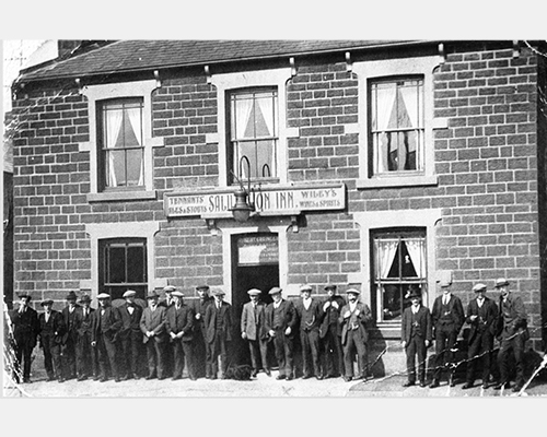
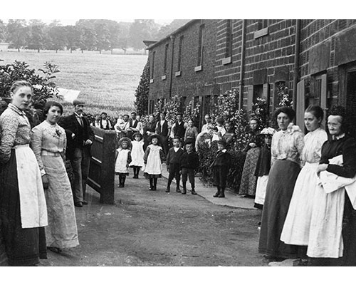
This attractive row of cottages lies off Chapel Road. In the photograph from the early part of last century we can see the row lived up to its name as most of the houses seem to have had sweet peas growing up the front wall.

Copyright 2021 Ecclesfield Parish Council | Website by Aubern Creative